Bobotov Kuk
Bobotov Kuk
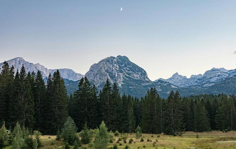
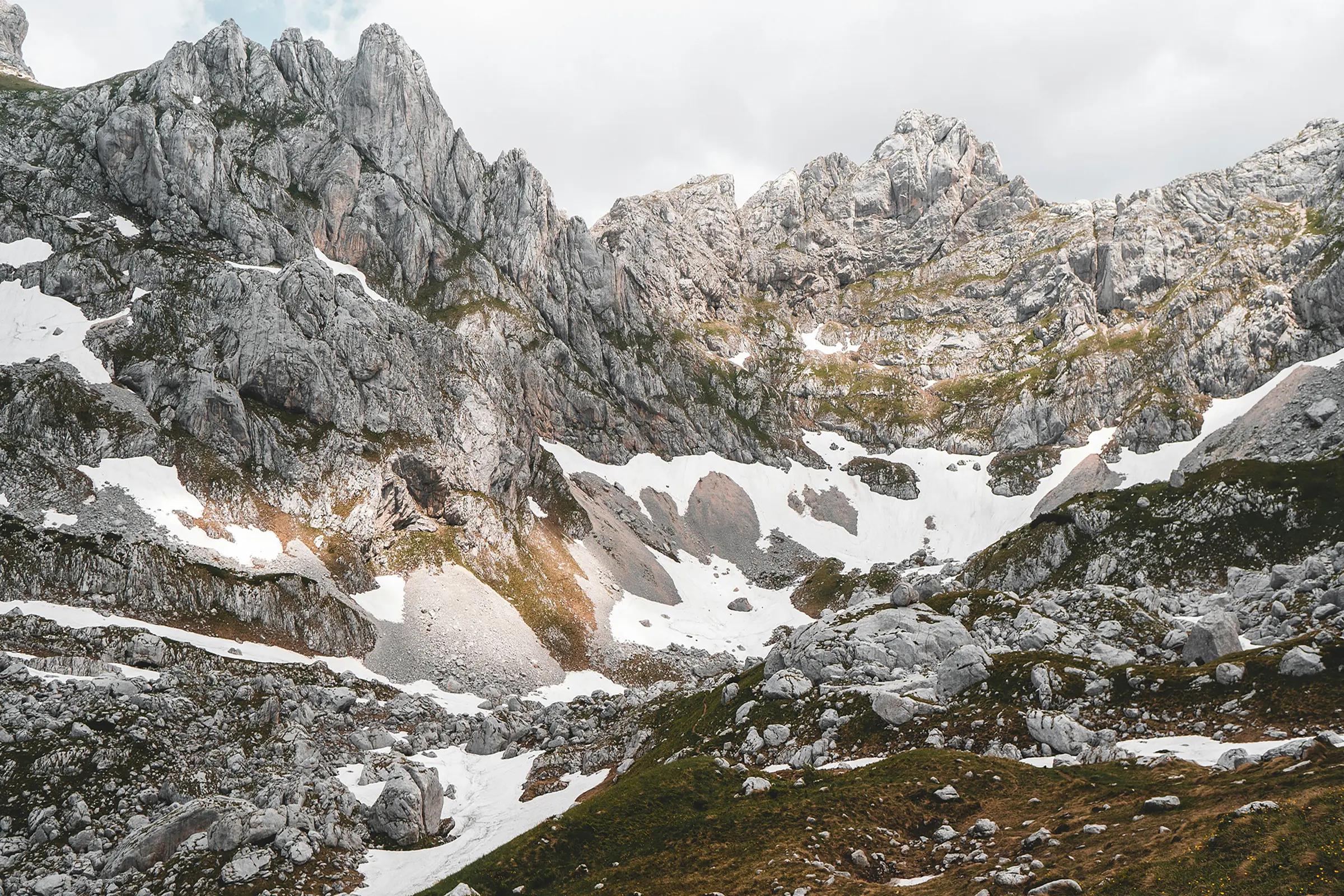
Durmitor’s highest summit. Classic alpine relief and views across the range.
About
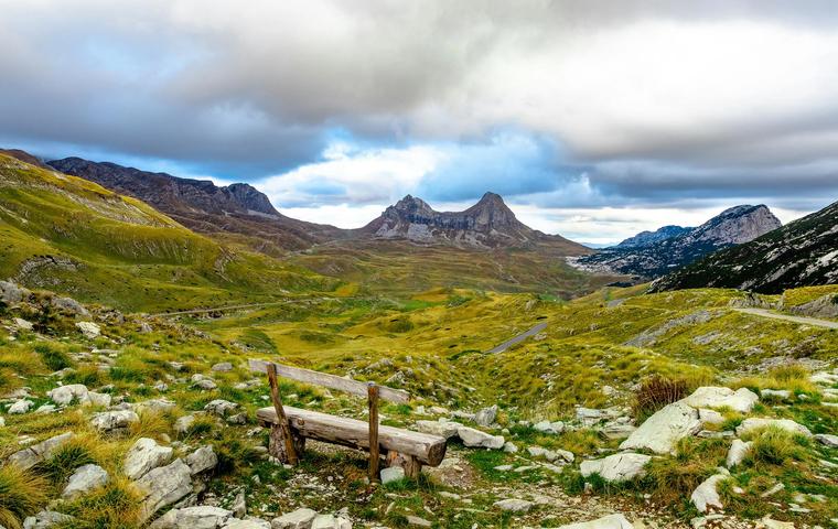
At 2523 meters this is the range high point and a landmark of northern Montenegro. Expect limestone ridges and panoramas over ice peaks and lakes.
Transport
Travel time
By car from Žabljak12 min.8 km
From the airport Tivat · TIV3 h 24 min.84 km
On the map
Location
In detail
What's here
What is this place
Bobotov Kuk is a peak of the Durmitor range (Montenegro), elevation 2,523 m. Long considered the country’s high point (now surpassed by several Albanian-border tops), it crowns glacial cirques and the Škrka and Zeleni Vir basins.
Key features
- Prominence ~1,480 m, isolation ~92.9 km – one of the most independent Dinaric summits.
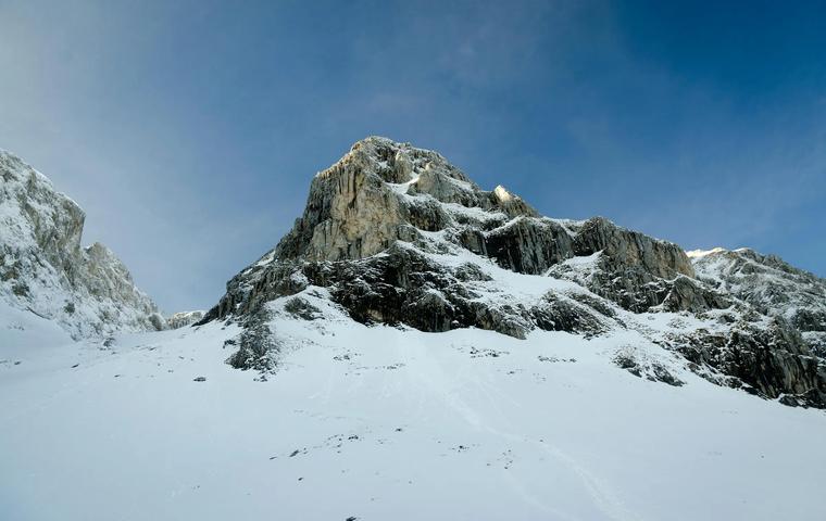
- Compact summit pyramid.
- Vast west wall forms a natural amphitheatre with Bezimeni Vrh and Djevojka (~400 m high, ~2 km wide).
- Steep S side drops to Zeleni Vir (2028 m) and the serrated Zupci ridge.
- Classic ascent from Žabljak on waymarked trails; final stretch is a short scramble; full round trip ~10 h at a moderate pace.
What to see
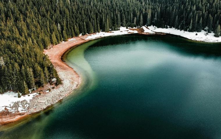
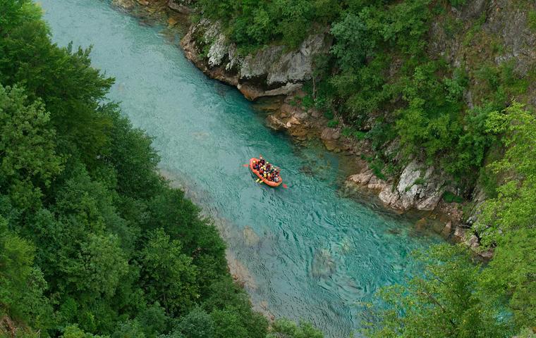
- Veliko & Malo Škrčko lakes in the deep Škrka valley; the emerald bowl of Zeleni Vir.
- Sharp scree cones, limestone walls and long-range views (Lovćen, Kopaonik, Tara, Maglić in clear weather).
- The grand west-face amphitheatre between Bobotov Kuk, Bezimeni Vrh and Đevojka.
History
First recorded ascent: Austrian cartographer O. Baumann in 1883. Scientific attention rose mid-19th c.: Ami Boué (geology, 1840), Jovan Cvijić (karst, 1893), and Josif Pančić (endemic flora).
Organised alpinism arrived in 1926 (Zagreb team); in 1931 Austrians made first winter ascents on neighbouring peaks; 1933–1940 Slovenian climbers pioneered major faces. Post-WWII Durmitor became a renowned hiking and climbing destination.
Practical information
Location: Durmitor NP; trailheads in Žabljak.
Getting there: bus/car from Podgorica to Žabljak; signed paths via Minin Bogaz/Zeleni Vir or the Škrka basin.
Access: summer hike with a short exposed scramble near the top; winter ascents require mountaineering kit.
Visiting hours: daytime.
Visit duration: ~8–10 h round trip from Žabljak; 4–5 h ascent plus the summit scramble.
Best time: early starts in stable weather.
Notes: sturdy boots; helmet & gloves helpful on the scramble; carry water, wind/sun protection; do not attempt in rain/thunder.
Bobotov Kuk
Articles about this place
Tips
Montenegro in August: +32 °C, Budva Crowds and Where to Actually Go Instead
Peak season: sea at +26 °C, hotels cost double May rates, Budva is packed. Here's where to stay smarter – Ulcinj, Žabljak, Herceg Novi – and what it really costs.
April 21, 2026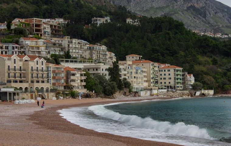
Tips
Montenegro in May: +27°C, Warming Sea & No Summer Crowds
May is Montenegro's sweet spot — 22–27°C days, a sea warming to 20°C, prices well below July and no crowds yet. Best routes, beaches and tips.
February 24, 2026
Accommodation
Best Hotels in Montenegro for a Peaceful Escape
A curated guide to hotels in Kolašin, Žabljak and Virpazar – ski resorts, national parks and Lake Skadar. Prices, features and tips.
October 21, 2025Nearby