Blog · eSIM
Mobile Internet in Montenegro's Mountains: Does Coverage Reach Durmitor and the North?
 eSIM
eSIMWhere mobile internet works in Montenegro's mountains, which operators have the best coverage in Durmitor and Kolašin, how to prepare for trips without stable signal, and what alternatives tourists have.
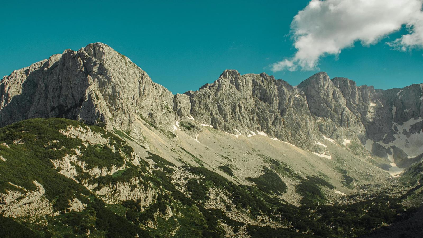
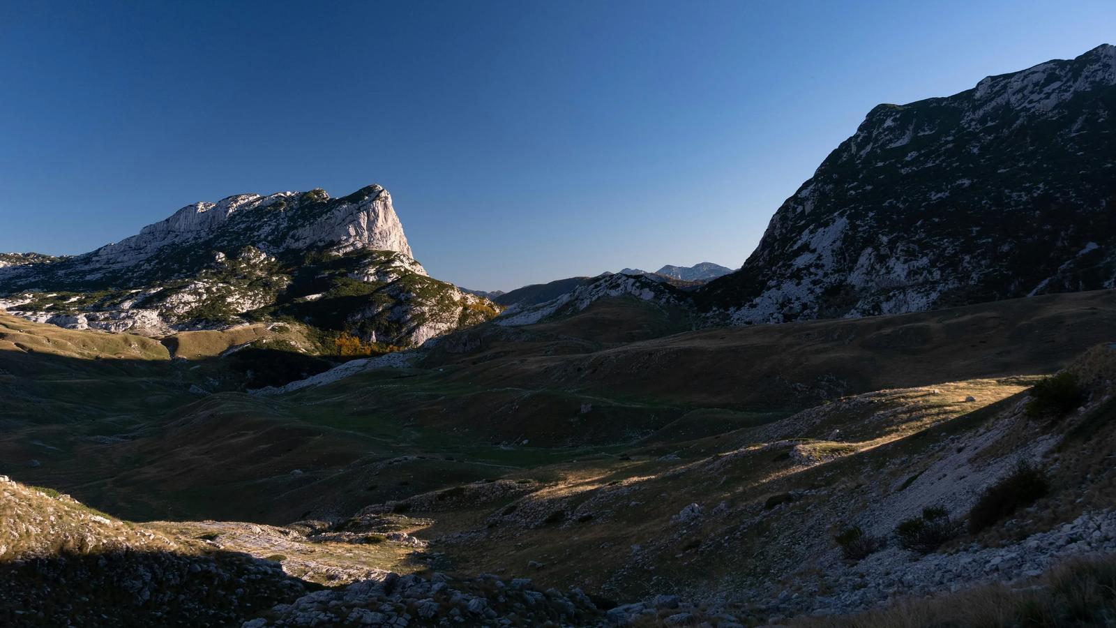
Mobile coverage in Montenegro's mountains works, but with significant gaps. In Žabljak itself and near Black Lake, 4G signal is generally stable. On trekking routes within Durmitor National Park – in canyons, at passes above 2,000 m, and in dense forest zones – coverage can disappear for hours. This matters for navigation, emergency calls, and basic messaging. Below is a practical breakdown of coverage by area, operator comparison, and solutions that actually work.
Key points:
- Three operators in Montenegro – Crnogorski Telekom, One, and Mtel. Each has different strengths in mountain areas.
- 4G covers over 99% of urban areas and more than 96% of roads, but hiking trails are a different story.
- Crnogorski Telekom offers the best coverage in mountainous and rural zones, including the country's north.
- Mtel provides the largest data packages at the lowest price, but its mountain coverage is weaker.
- One strikes a good balance between price and quality, popular among tourists.
- Offline maps are essential – download routes before leaving Podgorica or the coast.
- eSIM provides instant connectivity without hunting for carrier shops in remote mountain towns.
Coverage by zone: where it works and where it doesn't
| Zone | 4G | 3G | Notes |
|---|---|---|---|
Žabljak, town centre | ✅ stable | ✅ | All three operators, speed sufficient for video calls |
Black Lake, loop trail | ✅ / partial | ✅ | Signal weakens near the western shore |
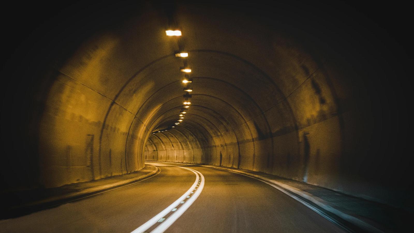
Tara Canyon, Đurđevića Bridge | ❌ / weak | partial | Nearly zero in the canyon itself; occasional 3G at the bridge and viewpoints |
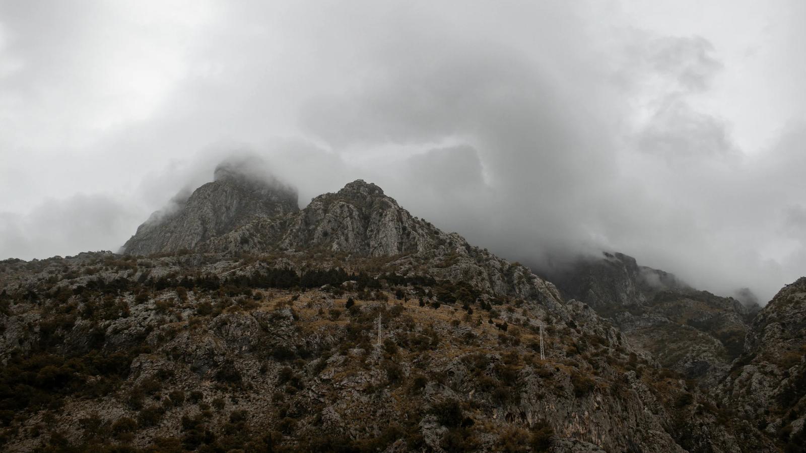
Bobotov Kuk, ascent | ❌ | ❌ / weak | Above 2,000 m coverage is unpredictable; summit occasionally catches a signal |
Ledena Pećina, trail | ❌ | ❌ / weak | Deep forest and gorges block signal for most of the route |
Sedlo Pass | partial | ✅ | 3G available on open stretches |
Kolašin, town | ✅ stable | ✅ | Ski resorts Kolašin 1450 and Kolašin 1600 have good coverage |
Biogradska Gora | partial | ✅ | Coverage at the entrance and Lake Biograd; drops inside old-growth forest |
Highway Podgorica – Žabljak | ✅ / partial | ✅ | Brief dropouts possible on switchbacks |
Critical: Mountain rescue services in Durmitor warn that cellular coverage does not work in remote park areas. On challenging routes (Bobotov Kuk, Škrčka Lakes, ridge traverse), plan for complete self-sufficiency.
Three operators: which one to choose for mountains
Crnogorski Telekom is the top choice for northern trips. It has the country's most extensive network infrastructure, including over 210 5G locations. Its mountain and rural coverage noticeably outperforms competitors. Tourist SIM cards start at €7.90 for 50 minutes to other networks, unlimited Telekom-to-Telekom calls, and 2 GB of data. The €16.90 package includes 300 minutes, 10 GB domestic, and 10 GB across the Balkans.
One actively targets tourists. Prepaid SIMs start at €5 with no passport required. Coverage is strong on the coast and in major cities, slightly weaker than Telekom in mountains.
Mtel offers maximum data for minimum cost. €15 gets you 500 GB, €20 gets 1 TB. However, mountain coverage lags behind the other two operators. Suitable if your route stays around Žabljak town; risky for deep backcountry treks.
| Operator | Packages from | Data | Mountain coverage |
|---|---|---|---|
Crnogorski Telekom | €7.90 | 2–10 GB | ⭐⭐⭐ best |
One | €5 | 1–5 GB | ⭐⭐ good |
Mtel | €15 | 500 GB | ⭐ weaker in mountains |
Home broadband in Montenegro costs about €22–40/month; a mobile plan with 10 GB+ runs €10–22. Tourists typically need only a prepaid package for 5–7 days.
eSIM as an alternative: connect before you land
If your phone supports eSIM, this is the most convenient option for mountain trekking in Montenegro. You can activate a profile at home and have data working automatically upon arrival at Podgorica or Tivat airport.
Advantages for mountain hiking:
- No need to find a carrier shop in Žabljak (options are limited there).
- Your primary SIM stays in the slot – you can still receive SMS and calls on your home number.
- If one operator has no signal, you can quickly switch to a different eSIM profile.
Several providers offer eSIM for Montenegro: Airalo, Ubigi, Yesim, Saily, Drimsim, and others. Prices start around €4–5 for 1 GB over 7 days. When choosing, check which local network the provider uses – for mountains, those routed through Crnogorski Telekom are preferable.
Practical solutions for mountain hikers
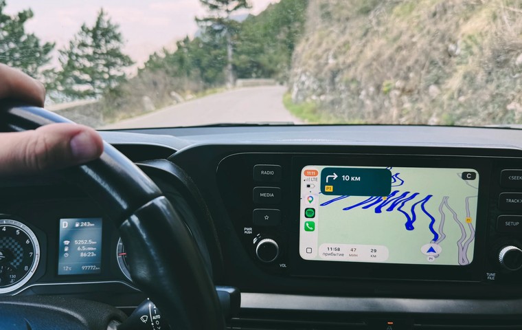
1. Download offline maps before departure. Apps like OsmAnd and maps.me let you download the entire Durmitor area with trails and elevation markers. Works without internet and saves battery.
2. Bring a portable battery. In network-searching mode, phones drain 2–3 times faster. A 10,000–20,000 mAh power bank is standard for a day trek.
3. Switch to airplane mode on the trail. Enable connectivity only when you need to send a message or check GPS. This extends battery life for the full day.
4. Buy a paper map in Žabljak. The info centre near the bus station sells printed maps of Durmitor: the ring route and hiking trails at €2.50 each. In the mountains, this is more reliable than any smartphone.
5. Share your route with someone who stays connected. Before heading out on challenging routes, leave your plan at your accommodation with an estimated return time.
6. Wi-Fi in Žabljak. Nearly every café, restaurant, and guesthouse offers free Wi-Fi. If you need to upload data or contact family, do it in town rather than counting on mountain coverage.
The drive from the capital to Durmitor takes about 2.5–3 hours. The first half (through Nikšić) has stable 4G. After turning onto the mountain switchbacks toward Žabljak, dead zones appear: 5–15 minute gaps between base stations. Online navigation can fail on the most challenging stretch of road. If driving a rental car via Localrent, download the route to your navigator offline beforehand.
The bus from Podgorica to Žabljak takes 2.5–3 hours. Wi-Fi is not typically available on the bus.
Tara Canyon and Đurđevića Bridge: a separate challenge
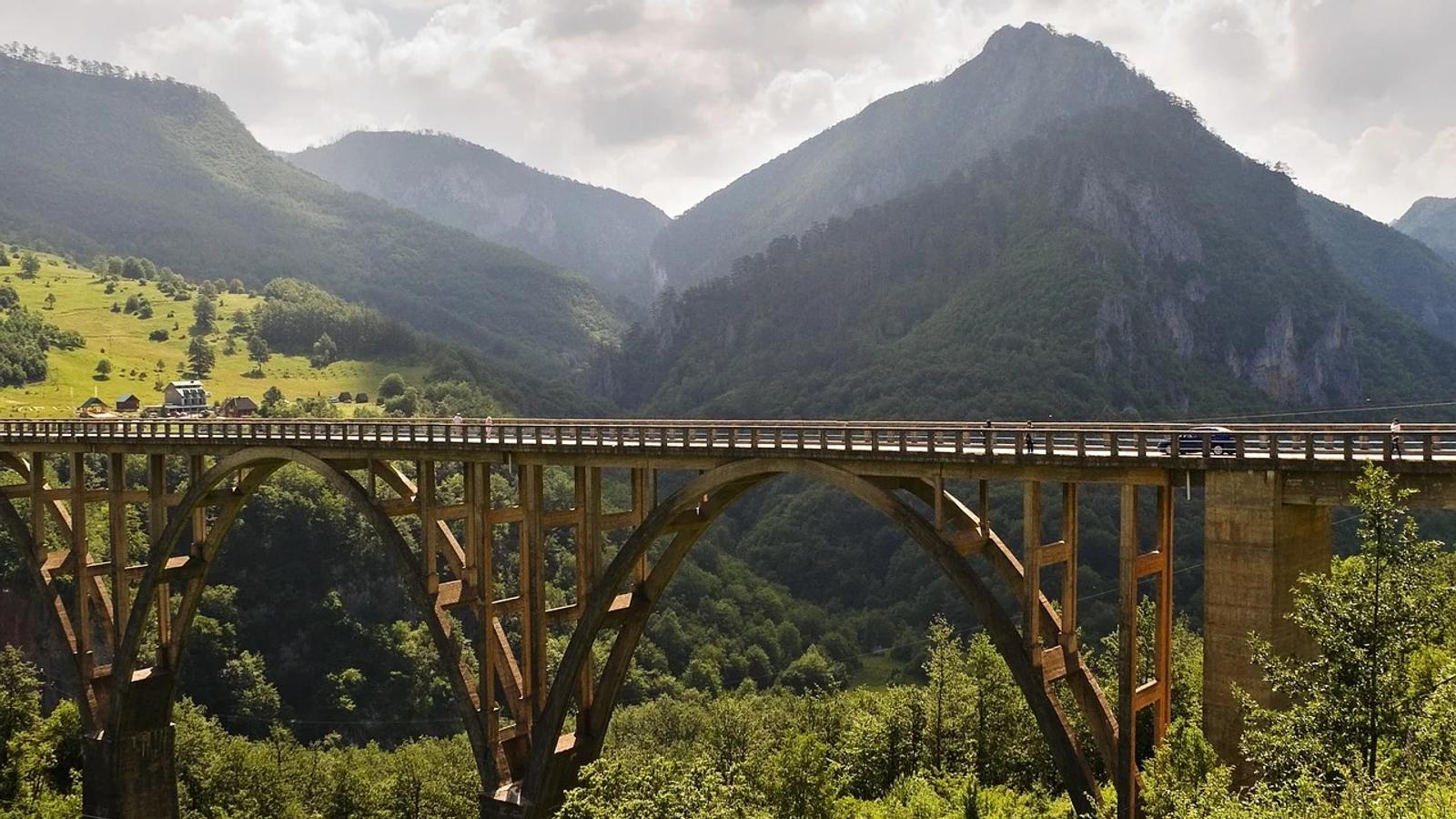
Tara Canyon is Europe's deepest canyon (up to 1,300 m). The canyon walls effectively block radio signals. While rafting the Tara or descending to the water, do not count on coverage. At Đurđevića Bridge and viewpoints along the road, 3G occasionally appears – enough for a text message, but not for a video call.
When booking a rafting tour through Viator, ask the operator whether radio communication between guides is included – this is a safety matter.
Biogradska Gora and Kolašin
Kolašin is a ski and trekking hub in the north. Coverage in the town itself and at ski resorts is reliable across all three operators. In Biogradska Gora National Park, the situation is mixed: signal exists at the entrance, along the road, and at Lake Biograd, but disappears once you enter the old-growth forest. The trail to Mrtvica Canyon has virtually no coverage.
Data security: public Wi-Fi in mountain towns
In small towns like Žabljak and Kolašin, Wi-Fi networks are often unprotected or use basic encryption. For online banking and handling sensitive data, consider using a VPN. Services like Surfshark, NordVPN, and ProtonVPN work in Montenegro.
Frequently Asked Questions
1. Does internet work in Žabljak? Yes, 4G works reliably in town across all three operators. Speeds are sufficient for navigation, messaging, and video calls. Problems start when you head onto trekking trails beyond the town.
2. Which operator is best for mountains? Crnogorski Telekom leads in mountain and rural coverage. If you plan serious treks in Durmitor, get a SIM from this operator or an eSIM profile that routes through their network.
3. Can I buy a SIM card in Žabljak? Yes, but options are limited. Carrier shops exist, but the selection of tourist packages is smaller than on the coast or in Podgorica. It is more convenient to buy a SIM at Tivat or Podgorica airport, where all operators offer tourist packages from €5.
4. Is an offline navigator mandatory for mountain hikes? Yes – this is a safety requirement, not just a recommendation. On routes to Bobotov Kuk, Ledena Pećina, and Škrčka Lakes, cellular coverage is absent. Download the Durmitor map in OsmAnd or maps.me beforehand and verify that GPS functions in standalone mode.
5. Is 1–2 GB of data enough for a trip? For 5–7 days in the mountains, yes – if you navigate primarily offline. 1 GB covers messaging and background map loading. 2 GB is a comfortable buffer with light browsing in Žabljak cafés. For active social media use and photo uploads, opt for 5 GB or more.
Summary
Mountain Montenegro is not a place for voluntary digital detox – it happens whether you want it or not. In Žabljak and Kolašin, coverage works; on main roads, mostly too. But step onto a trail in Durmitor or descend into Tara Canyon, and your smartphone becomes an expensive flashlight. Prepare in advance: offline maps, a charged power bank, a Crnogorski Telekom SIM or a working eSIM profile. And a paper map in your pocket – in case technology fails.
Read also:
- Durmitor Mountains and Black Lake: Tours into the Heart of Montenegro's Nature
- Why Use an eSIM in Montenegro?
- Best eSIMs for Traveling in Montenegro and Albania
- Active Tours in Montenegro: Hiking, Rafting, and Canyons
- Why Do You Need a VPN in Montenegro?
- Car Rental in Montenegro: Everything Tourists Need to Know
Sources
Ministry of Sustainable Development and Tourism of Montenegro – official telecom data
National Tourism Portal – mobile operator information
Crnogorski Telekom – network coverage map
Durmitor National Park – visitor information
You may also like
Travel Apps for Montenegro 2026: No Uber, No Wolt, Glovo Delivers, eSIM Saves
Uber and Bolt don't work in Montenegro, Wolt left, Google Maps gets addresses wrong. The 7 apps that actually work in 2026, with prices and local quirks.
April 26, 2026
eSIM vs Local SIM Card in Montenegro: Which Is Better for Travelers
Compare eSIM providers and local Montenegrin operators (MTEL, One, Crnogorski Telekom). Prices, coverage, purchase tips, and tariff tables to choose the best connectivity option.
February 24, 2026
How to Choose an eSIM Based on Trip Length: From a Weekend to Months Abroad
A practical eSIM selection framework by trip duration: how much data you need, which validity periods make sense, and when regional or global plans are worth it.
January 08, 2026eSIM Providers for Travel: Which One Offers the Best Value?
We compare popular eSIM providers for travelers. Find out which one offers the best value and where you can get the cheapest data plans – all in this guide.
July 16, 2025
eSIM and Remote Work: How to Stay Connected Anywhere in the World
We explain how eSIM makes life easier for freelancers, digital nomads, and remote teams. Learn why eSIM is more convenient and reliable than local SIM cards or public Wi-Fi, how to choose the right provider for international travel, and what to consider to stay connected without interruptions.
July 03, 2025
Why eSIM Is Safer Than Public Wi-Fi
Public Wi-Fi may be convenient, but it’s far from safe. In this article, we explain why using eSIM is a more secure and reliable way to access the internet while traveling. We break down the key differences, the risks of open networks, and the advantages of mobile connectivity with eSIM.
June 26, 2025