Hero background

Borjomi-Kharagauli National Park

ბორჯომ-ხარაგაულის ეროვნული პარკი

Georgia's first national park – 107,000 hectares of ancient forests with 12 marked hiking trails

Borjomi-Kharagauli National Park is the largest protected area in central Georgia. It covers over 107,000 hectares (1.5% of the country's territory) on the eastern slopes of the Lesser Caucasus. Elevations range from 400 to 2,642 m. The park spans 6 municipalities: Borjomi, Kharagauli, Akhaltsikhe, Adigeni, Khashuri, and Baghdati.

The main entrance is the visitor center in Borjomi at 23 Meskheti Street, 2 km from the town center. A second visitor center is in Kharagauli. From Tbilisi to Borjomi: 160 km, 2–2.5 hours by shared minibus from Didube (10 GEL / ~$4).

The park has 12 marked trails: from 3 km (1.5 hours) to 54 km (4–5 days). Entry is free; registration at the visitor center is mandatory. Open year-round – snowshoe trails available in winter.

Location

On the Map

About

What's Here

The park is covered with Caucasian pine, fir, oriental beech, and oak – some areas are virgin forest, untouched by logging. Above 2,000 m: subalpine and alpine meadows carpeted with wildflowers from June through August. Wildlife includes roe deer, brown bears, lynx, wolves, and golden eagles – though sightings of large animals are rare.

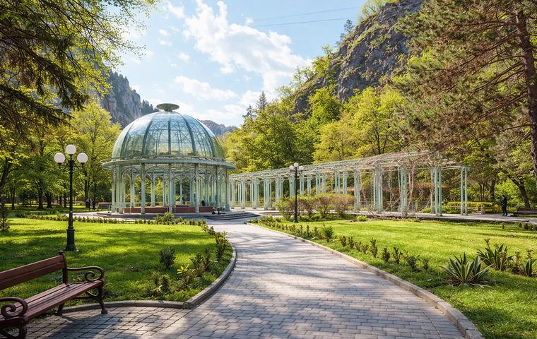
The easiest route is the Information Trail (3 km, 1.5 hours): it starts from the administration building, passes St. Nino Church, and loops back. From the high point – a panorama of Borjomi and the gorge. The most popular day hike is the Footprint Trail (#6, 17 km, 6 hours): from the Likani valley over a ridge to Kvabiskhevi village. For experienced hikers: the St. Andrew Trail (#2, 54 km, 4–5 days) through alpine meadows to the park's highest point – Mount Sametskhvario (2,642 m).

Tourist shelters dot the multi-day routes – wooden huts with bunks, no electricity. Designated campsites with fire pits are available. Cycling and horse-riding trails are marked separately. In winter, two snowshoe trails run through snow-covered coniferous forest.

Why Visit

The Highlights

Area – 107,000 ha, 1.5% of Georgia's territory, one of the largest national parks in the Caucasus

Trails – 12 marked routes from 3 to 54 km, day hikes and multi-day treks

Highest point – Mount Sametskhvario, 2,642 m

Flora – Caucasian pine, fir, beech, red-listed relict yew forests

Fauna – brown bear, lynx, wolf, roe deer, golden eagle

Winter – 2 snowshoe trails (6 and 15.5 km), snowshoe rental 15 GEL/day (~$6)

History

Past & Present

The Borjomi Nature Reserve was established in 1935 to protect the unique coniferous forests of the Lesser Caucasus. The national park was created in 1995 – the first in independent Georgia – with support from the German government and the World Wildlife Fund (WWF). The trail network and infrastructure (shelters, markers, campsites) were developed in the 2000s.

Today the park administration manages four types of protected areas: Borjomi Nature Reserve, Borjomi-Kharagauli National Park, Nedzvi Managed Reserve, and the Goderdzi Fossil Forest Natural Monument. The park is part of Georgia's protected areas system managed by the Agency of Protected Areas. In 2023, several shelters were damaged by fires – check trail conditions at the visitor center before setting out.

For Visitors

Visitor Information

Tickets & Prices

Park entry: free

Registration: mandatory at the visitor center (free)

Equipment rental (visitor center):

– Tent – 10 GEL (~$4)

– Sleeping bag – 5 GEL (~$2)

– Camping mat – 3 GEL (~$1)

– Bicycle – 35 GEL (~$13)

– Snowshoes – 15 GEL/day (~$6), then 10 GEL/day

– Lockers – 2–3 GEL (~$1)

Accommodation:

– Tourist shelter – 15 GEL (~$6) per person

– Marelisi hotel – 25 GEL (~$10) per person

– Campsite – 5 GEL (~$2) per person

Horses: 50–60 GEL/day (~$19–23), book through the visitor center

Rules & Restrictions

Registration before hiking is mandatory – this is a safety requirement. Build fires only at designated spots. Carry out all trash. Hunting is prohibited. For multi-day routes – get a map (3 GEL at the visitor center). Trail #4 (Untouched Forest) is permanently closed due to rockfall. Check trail and bridge conditions before departure – river levels can rise during rainy periods.

On-Site Facilities

Visitor center (Borjomi, 23 Meskheti St.): exhibition hall, trail info, equipment rental, toilets

On trails: marked paths, shelters (no electricity), campsites with fire pits, picnic areas

Connectivity: 4G in Borjomi; on trails – no or very weak signal. Download offline maps in advance

Accessibility: the Information Trail (3 km) is moderate difficulty, suitable for fit visitors. Other routes require good physical condition. Not accessible for people with mobility limitations

Getting There

Transport & Directions

From Tbilisi (160 km, 2–2.5 hours):

– Shared minibus (marshrutka) from Didube – 10 GEL (~$4), every 30–60 min

– Train – 8–15 GEL (~$3–6), 4 hours

Car rental – via S1 highway

From Kharagauli (180 km from Tbilisi, 3 hours):

– Marshrutka from Didube – 10 GEL (~$4), twice daily

To the Borjomi visitor center:

From the bus station – 20 min walk or taxi 3–5 GEL (~$1–2). Located at 23 Meskheti Street.

To trailheads:

Some trails start from the visitor center. The Nikoloz Romanov Trail (#1) begins in the Likani valley (taxi 5–10 GEL / ~$2–4). Atskuri-based trails require separate access.

When to go

Best time to visit

Season: June–October is best for hiking. Alpine meadows bloom in June–July. Autumn brings vibrant foliage.

Winter: December–March for snowshoe trails. Main hiking trails are closed due to snow.

Duration: Day hikes – 4–8 hours. Multi-day treks – 2–5 days. Information Trail – 1.5 hours.

Avoid: April–May – high river levels, bridges may be impassable. Starting a trail after 2:00 PM is not recommended – daylight is limited.

FAQ

Common Questions

Free. Registration at the visitor center is mandatory before hitting the trail. Equipment rental and shelter stays are paid separately.

The Information Trail – 3 km, 1.5 hours, starts at the visitor center. For a full-day hike: the Black Trail (#12, 9 km, 4–5 hours) with panoramic views of Borjomi.

For day hikes – no, just register at the visitor center in the morning. For shelter stays – booking in advance is recommended. Phone: +995 599 747 919.

Most routes have streams and rivers, but carry your own supply. Ridge sections may have no water sources.

Hiking boots are essential for all routes except the Information Trail. Descents are steep with loose ground. Sneakers are only suitable for the short trail.

Yes. Two snowshoe trails: 6 km (4 hours) and 15.5 km (2 days). Snowshoe rental – 15 GEL/day (~$6) at the visitor center. Shelters operate, but book ahead (20 GEL / ~$8 per person).

Yes. Designated campsites with fire pits are located along the trails – 5 GEL (~$2) per person per night. Tents available for rent at the visitor center (10 GEL / ~$4). Wild camping outside designated areas is prohibited.

Since 2026, health insurance is mandatory for entering Georgia. For mountain hiking, sports coverage is recommended – helicopter evacuation is not free.

4G works in Borjomi and at the visitor center. On trails – weak or no signal. Download offline maps beforehand. Get an eSIM from Magti or Geocell.

Distance

Travel Time

From Borjomi by taxi or transfer ~29 min.
From Bakuriani by car ~35 min.
From Kutaisi by car ~1 h 38 min.
From KUT airport (Kutaisi Airport (KUT)) by car ~1 h 51 min.
From TBS airport (Tbilisi Airport (TBS)) by car ~3 h 26 min.
Social

Share