Zmutt
Zmutt
An authentic alpine hamlet in the shadow of the Matterhorn.
About
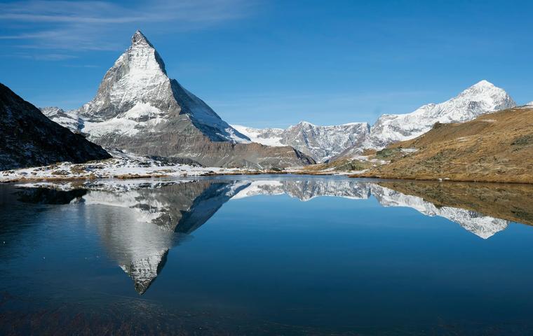
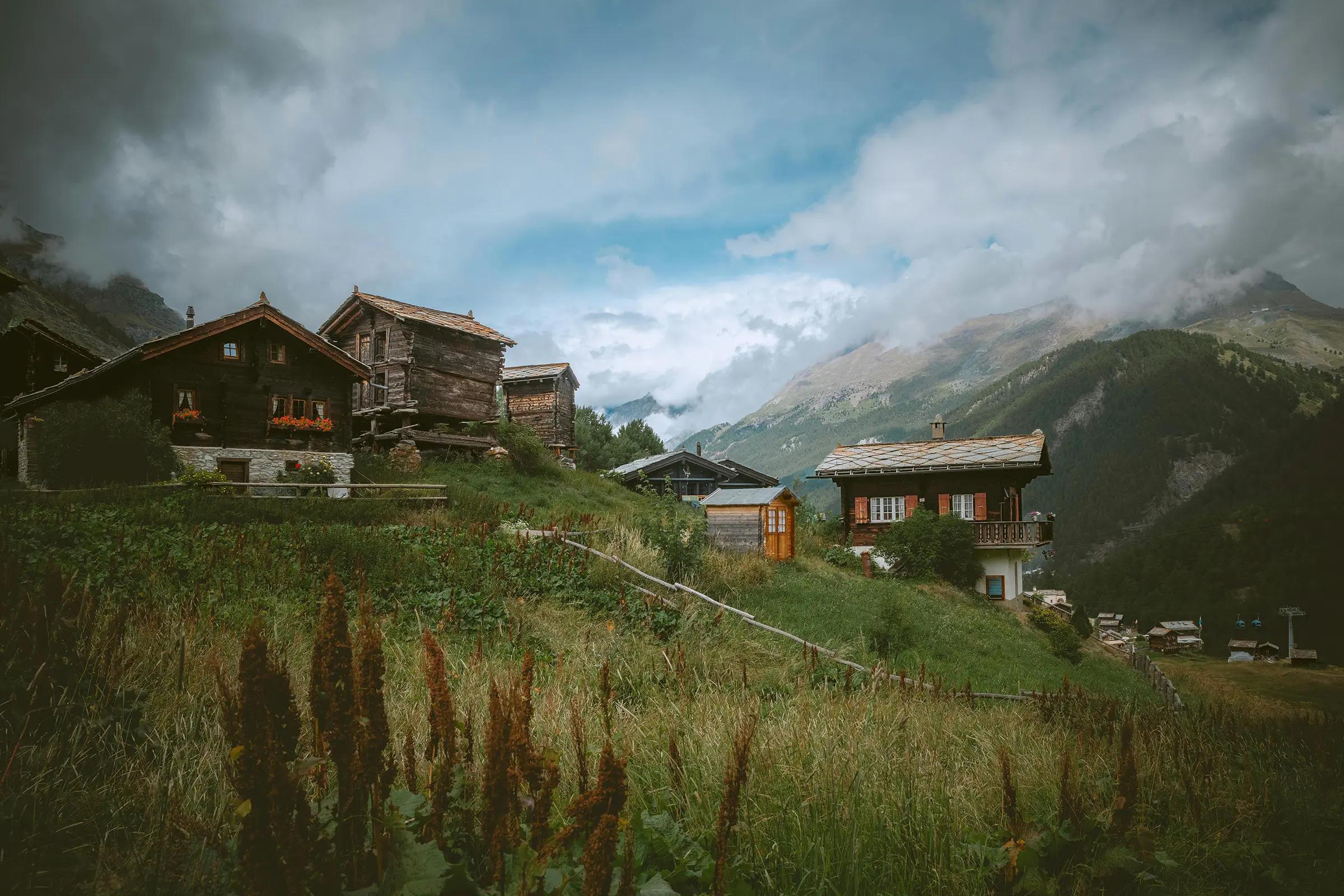
Just an hour’s walk from Zermatt lies Zmutt, a charming 16th-century mountain village with rustic wooden chalets, narrow lanes, and tranquil pastures. Originally a seasonal alpine settlement, it has preserved its traditional character and pastoral quiet. The hike to Zmutt is gentle and scenic, especially in spring and summer when the meadows bloom. Visitors are rewarded with panoramic views of the Matterhorn and the nearby Zmutt Glacier.
Transport
Travel time
On foot from Zermatt center31–47 min.1 km
By car from Zermatt4 min.1 km
From the airport Sion · SIR56 min.38 km
On the map
Location
In detail
What's here
What is this place
Zmutt is a tiny alpine hamlet in the Zmutt valley above Zermatt at 1,936 m, a tight cluster of 16th–18th-century wooden houses and a Baroque chapel of St Catherine (date on the doors 1727). It’s an hour’s walk from central Zermatt; in winter, signed routes No. 120/121 lead up. Up-valley lie the 1961–1964, 74 m Zmutt arch dam and the Zmutt Glacier.
Key features
- 1,936 m – about 20 dark timber houses on alpine meadows.
- St Catherine’s chapel – Baroque, door date 1727; simple altar and Stations of the Cross.
- “White House” 1595 in the hamlet’s core.
- Easy approach from Zermatt in ~1 h; winter trails No. 121 (2.7 km / ~1 h 20) and No. 120 (3.7 km / ~1 h 40).
- Up the valley: Zmutt arch dam 1961–1964, 74 m high, capacity ~0.8–0.85 million m³; beyond is the Zmutt Glacier.
What to see
- The central cluster of houses and St Catherine’s chapel.
- A classic loop Zermatt – Zmutt – Blatten/Furi – back to Zermatt.
- The walk further up to the Zmutt dam and views toward the Zmuttgletscher tongue.
History
The hamlet is over 500 years old; “Mutt” in the local dialect means a rounded height on a rocky slope. Core structures include the 1595 “White House” and St Catherine’s chapel with a 1727 door inlay.
In the 20th century, hydropower arrived: the Zmutt arch dam was built 1961–1964 to impound waters from streams and glaciers including the Zmuttgletscher. Despite these works, Zmutt retained its historic character and remains a pure walking destination from Zermatt.
Practical information
Location: Zmutt valley south-west of Zermatt, roughly 3–4 km by trail from the centre.
Getting there: Walk from Zermatt in ~1–1.5 h; in winter, signed routes No. 121 (2.7 km / ~1 h 20) and No. 120 (3.7 km / ~1 h 40). Combine with Furi via Blatten/Zum See for a loop.
Access: On foot only; moderate gradients, gravel and steps. Expect ice in winter and occasional closures.
Visiting hours: Year-round; winter openings depend on trail status.
Visit duration: 1.5–2.5 h out-and-back; 3–4 h for the loop via Blatten/Furi.
Best time: Morning or golden hour for soft light; larch colours in autumn.
Notes: It’s a lived-in hamlet – keep to paths and respect private yards; limit drones/noise. Trails to the dam are mountain paths – bring a warm layer and water.
Nearby