
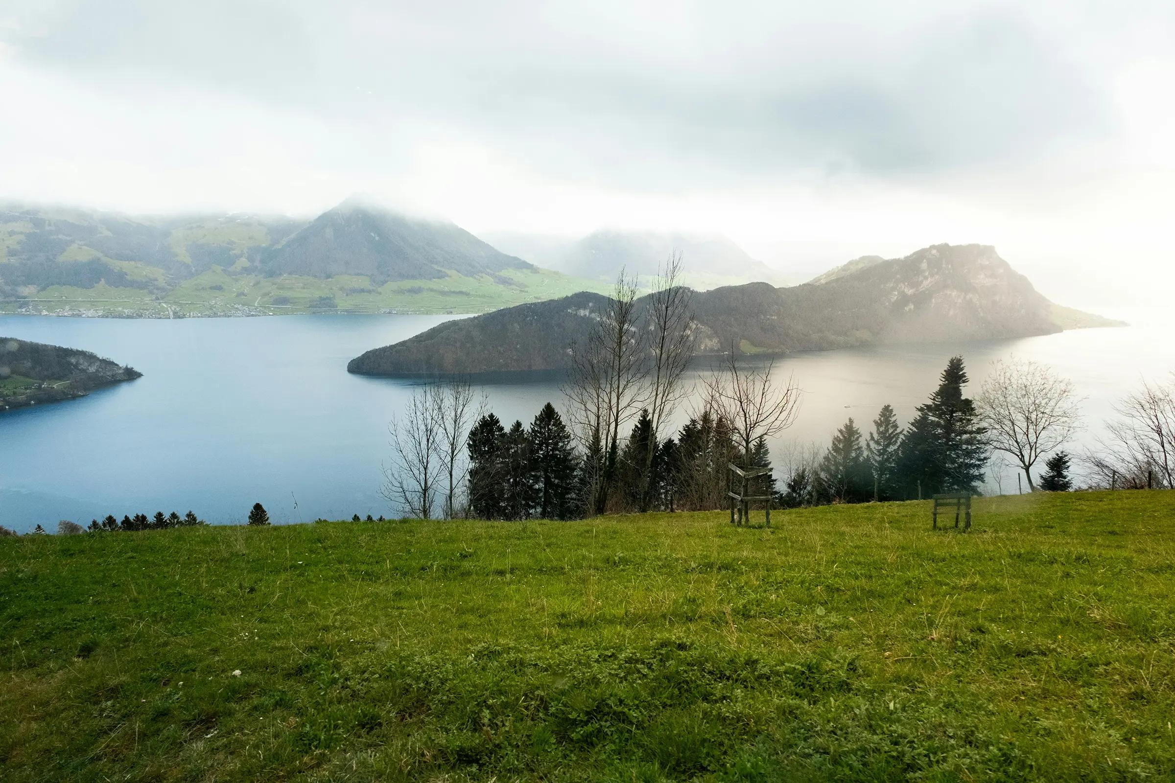
Lake Lucerne
Vierwaldstättersee
Breathtaking Alpine lake blending natural beauty and Swiss legend.
About
Surrounded by mountains and historic towns like Lucerne, Lake Lucerne – literally “Lake of the Four Forest Cantons” – is one of Switzerland’s most scenic bodies of water. Visitors can cruise on vintage steamships, walk panoramic lakeside trails, and explore sites tied to the legend of William Tell. The lake combines dramatic Alpine landscapes with deep cultural roots.
Transport
Travel time
On foot from Lucerne center23–35 min.3 km
By car from Lucerne8 min.3 km
From the airport Bern · BRN1 h 37 min.65 km
On the map
Location
In detail
What's here
What is this place
Lake Lucerne is a glacial lake in Central Switzerland spanning the cantons of Lucerne, Uri, Schwyz, Nidwalden and Obwalden. Its indented shoreline and branching arms create one of the Alps’ most scenic waterways.
Key features
- Area ~114 km², elevation ~434 m, max depth ~214 m – a major alpine lake with rugged shores.
- The name “Lake of the Four Forest Cantons” recalls Uri, Schwyz, Unterwalden and later Lucerne – the cradle of the early Confederation.
- Fjord-like sections (Urnersee, Gersauersee, etc.) – tight rock gorges alternating with broad bays.
- Steam navigation since 1837 and a fleet of early-20th-century paddle steamers – a rare living heritage.
- Key waypoints: the Rütli meadow 1291, Tell’s Chapel at Tellsplatte, and the 19th-century Axenstrasse clinging to the eastern cliffs.
What to see
- Lucerne’s quays and classic “grand circle” cruises to Vitznau, Weggis, Brunnen and Flüelen.
- “Lake + mountain” combos: Mt Rigi from Vitznau (rack railway), Pilatus via Alpnachstad, Bürgenstock plateau with the Hammetschwand lift.
- The Urner arm with Rütli and the Axen cliffs – the lake’s most alpine stretch.
History
Shaped by the last glaciation, the basin was settled on deltas and raised terraces; medieval sources mark the shores as the boundary of the forest cantons, with Rütli symbolising the 1291 oath.
Modern times brought engineered lakeside routes and ferries; in 1837 the first steamer entered service, and in the late 19th century the Axenstrasse and the Gotthard rail connected the lake to national routes. Early-20th century paddle steamers fixed the iconography of Swiss lake travel.
In the 20th–21st centuries the lake underpinned Central Switzerland’s tourism – resorts on Rigi and Pilatus, upgraded piers and preserved heritage vessels under seasonal timetables.
Practical information
Location: Central Switzerland; towns include Lucerne, Weggis, Vitznau, Brunnen, Flüelen; cantons LU, UR, SZ, NW, OW.
Getting there: Trains to Luzern station, then short walks to Bahnhofquai/Seebrücke piers; on the east arm use Brunnen or Flüelen; lakeside buses and SGV boat piers interconnect.
Access: Excursion boats and most promenades are step-free; some piers have gradients and boarding gaps.
Visiting hours: Year-round destination; dense boat schedules spring–autumn, reduced services in winter.
Visit duration: 2–4 hours for a short Lucerne loop; a full day to reach the Urner arm and add Rigi/Pilatus.
Best time: May–October for navigation and stable weather; mornings and golden hour for Alpine views.
Notes: Timetables vary with season and weather; föhn and storms may alter services. Swiss Travel Pass covers most boat routes; panoramic runs and certain seats may need reservations/supplements.
Lake Lucerne
Articles about this place
Accommodation
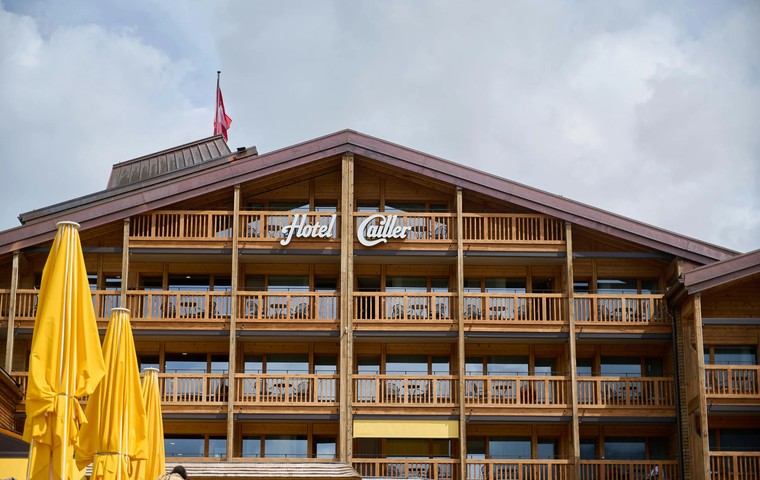
Best Family Hotels in Switzerland: Top Areas and Prices
A practical guide to the best family hotels in Switzerland by region, with pools, kids’ clubs, real-world prices and booking tips.
November 24, 2025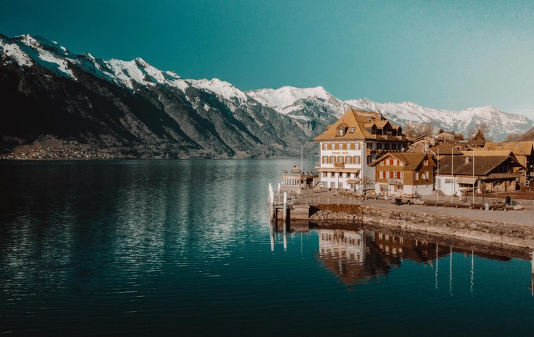
Accommodation
Most luxurious hotels in Switzerland – best areas and prices
Guide to the most luxurious hotels in Switzerland: top cities and resorts, price ranges, when to go and how to choose the perfect 5-star stay.
November 23, 2025Nearby
Nearby attractions

1 km
Swiss Museum of Transport
Verkehrshaus der Schweiz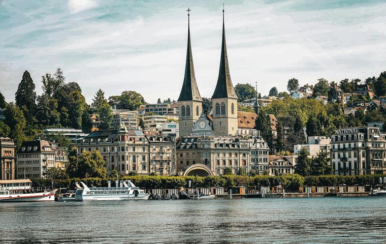
3 km
Church of St. Leodegar
Hofkirche St. Leodegar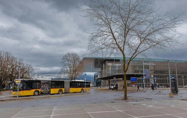
3 km
Lucerne Culture and Congress Centre
KKL Luzern3 km
Bourbaki Panorama
Bourbaki Panorama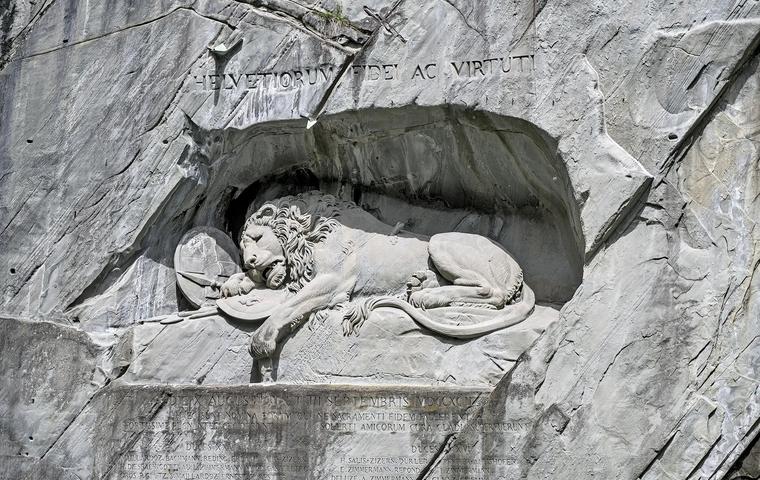
3 km
Lion Monument
Löwendenkmal3 km
Rosengart Collection
Sammlung Rosengart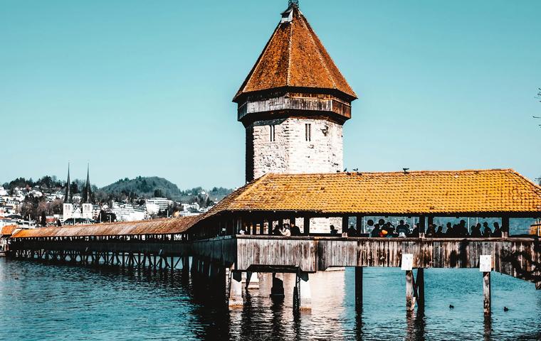
4 km
Kapellbrücke
Kapellbrücke4 km
Glacier Garden
Gletschergarten Luzern
4 km