

Lake Zurich
Zürichsee
Zurich’s blue heart – perfect for strolls, swimming, and lake cruises.
About
Lake Zurich (Zürichsee) starts in the city centre and stretches south between gentle green hills. It’s a favorite retreat for locals and visitors alike, with manicured lakeside parks, cafés, bike paths, and scenic swimming spots. Whether you take a leisurely walk along the promenade, hop on a boat cruise, or simply relax by the water, the lake offers a holiday-like escape right in the middle of urban Zurich.
Transport
Travel time
On foot from Zurich center38–58 min.4 km
By car from Zurich12 min.4 km
From the airport Bern · BRN1 h 51 min.93 km
On the map
Location
In detail
What's here
What is this place
Lake Zurich is a long glacial lake southeast of downtown Zurich at 406 m a.s.l. It is a prime leisure and transport corridor linking the city with Rapperswil and lakeside towns.
Key features
- Length ~40 km, area ~88.7 km², max depth 136 m – the region’s largest waterbody and Zurich’s “home lake”.
- Split into the lower lake and the Obersee by the Seedamm causeway and bridges (1875–1878) at Hurden – a major road and rail crossing.
- Islands of Ufenau and Lützelau near Rapperswil – protected nature sites; Ufenau belongs to Einsiedeln Abbey with regulated access.
- Year-round ZSG services from 1-hour cruises to a ~4.5 h grand tour; the Horgen–Meilen car ferry takes 10 min and has run since 1933.
- The lake froze over completely only in 1929 and 1962/63 – a rare event for the local climate.
What to see
- Zurich’s “Seebecken”: promenades from Bürkliplatz to Bellevue, Alpine vistas, piers and Limmat boats.
- Rapperswil with the Seedamm and the wooden footbridge “Holzbrücke Rapperswil–Hurden” (841 m, opened 2001), plus the Ufenau and Lützelau islands.
- The Au Peninsula between Horgen and Wädenswil – vineyards, trails and viewpoints to both shores.
History
The basin was carved by the Rhine–Linth glacier; the main inflow is the Linth. In 1807–1823, the Linth correction diverted the river via Lake Walen into the Obersee, stabilizing levels and ending floods in the plains.
Prehistoric pile-dwellings once stood on the shallow shores; first finds at Obermeilen were described in 1854. Nine lakeside sites were inscribed in the UNESCO serial property “Prehistoric Pile Dwellings around the Alps” in 2011.
Today’s cross-lake axis took shape with the Seedamm causeway and bridges in 1875–1878. The Horgen–Meilen ferry began in 1933, and in 2001 a new pedestrian wooden bridge between Rapperswil and Hurden revived the medieval crossing line.
Practical information
Location: Canton of Zurich (with shores in St. Gallen and Schwyz); stretches from central Zurich to Rapperswil and Schmerikon.
Getting there: In Zurich, trams to Bürkliplatz/Bellevue. S-Bahn lines run along both shores; ZSG boats depart from Zürich Bürkliplatz (See) and Zürich Landesmuseum (Limmat).
Access: Promenades and parks are largely step-free. Ufenau has regulated landings and bathing is prohibited at/around the island.
Visiting hours: Year-round. ZSG timetables are seasonal; Limmat boats typically operate April–October.
Visit duration: 1–2 h for a lakeside stroll; Zurich–Rapperswil boat 2–3 h one-way; grand lake tour ~4.5 h.
Best time: May–September for swimming and cruising; clear autumn days for long views; fog is possible in winter.
Notes: Protected zones on the water (especially near Ufenau/Lützelau and Frauenwinkel) – obey navigation and nature-protection rules.
Lake Zurich
Articles about this place
Accommodation
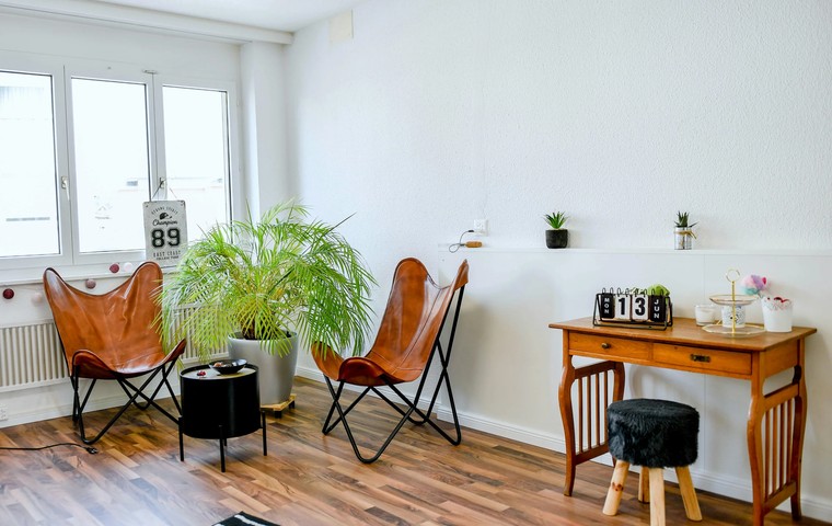
Most Atmospheric Apartments in Switzerland: Best Areas, Views and Prices
A practical guide to the most atmospheric apartments in Switzerland – from alpine chalets to old-town flats. Where to stay, which areas to choose and what prices to expect in 2025.
December 10, 2025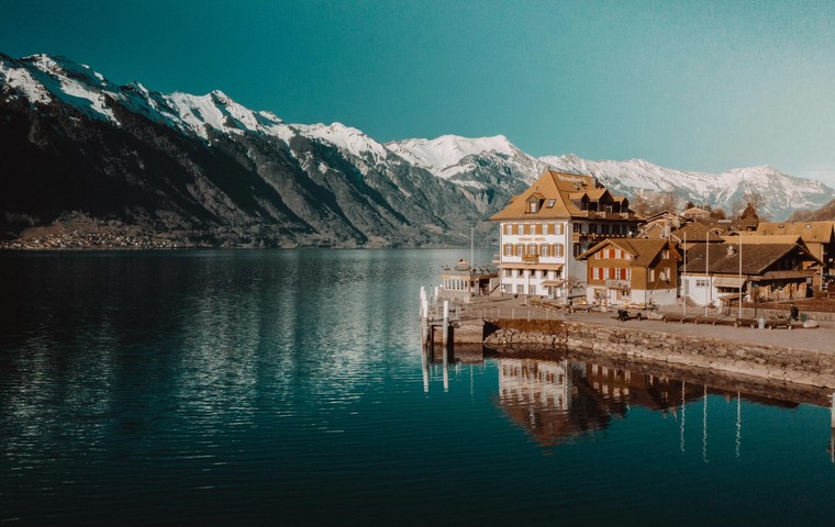
Accommodation
Most luxurious hotels in Switzerland – best areas and prices
Guide to the most luxurious hotels in Switzerland: top cities and resorts, price ranges, when to go and how to choose the perfect 5-star stay.
November 23, 2025Nearby
Nearby attractions
982 m
Pavillon Le Corbusier
Pavillon Le Corbusier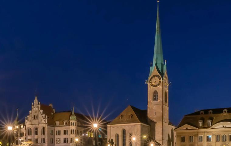
2 km
Fraumünster Church
Fraumünster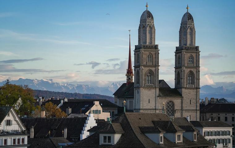
2 km
Grossmünster Church
Grossmünster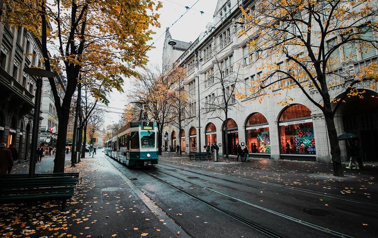
2 km
Bahnhofstrasse
Bahnhofstrasse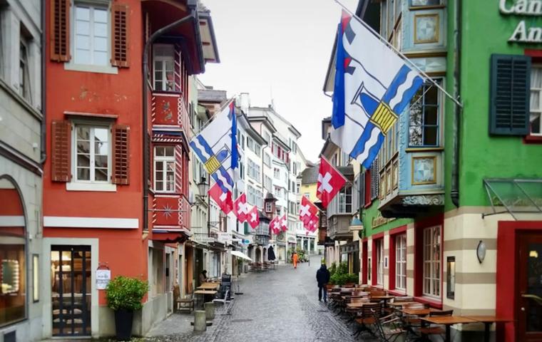
2 km
Augustinergasse
Augustinergasse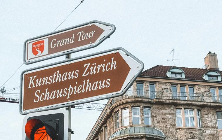
2 km
Kunsthaus Zürich
Kunsthaus Zürich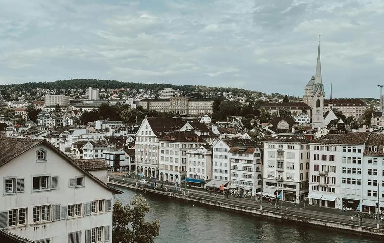
2 km
Lindenhof Hill
Lindenhof
2 km
Botanical Garden of the University of Zurich
Botanische Garten Zürich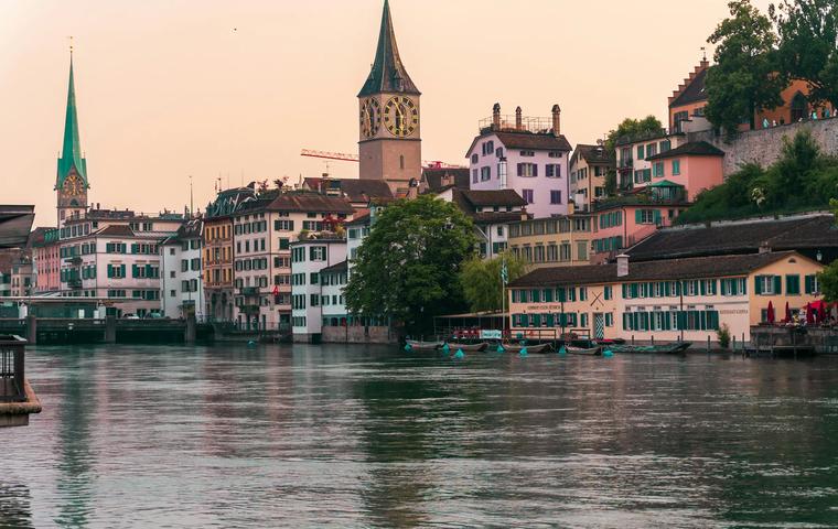
2 km